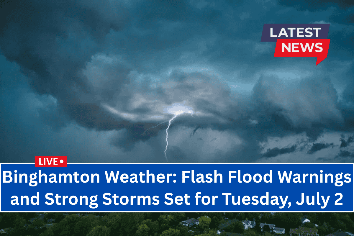
Binghamton, New York – Strong thunderstorms are expected to impact central New York on Tuesday afternoon, with damaging winds and the risk of flash flooding along major highways, including I-81 and I-86.
The National Weather Service in Binghamton has issued a warning that thunderstorms will begin forming after 3 p.m. Tuesday, with the possibility of intense cells that could quickly escalate by early evening.
The main threats from these storms include wind gusts exceeding 50 mph and brief torrential downpours, which may overwhelm storm drains and cause flash flooding in low-lying areas, particularly around I-81.
Risks for Motorists and Power Outages
Motorists are urged to avoid underpasses during the heavy rain and keep their headlights on while driving in storm conditions. The storms may also cause localized power outages, as strong winds could knock down trees or utility lines.
The worst of the storm activity is expected to diminish after 9 p.m., though spotty showers may persist through the night.
Midweek Weather: Sunny and Calm
By Wednesday, the weather will shift to mostly sunny skies, with a high near 83°F and calm winds. It will be a great day to enjoy the outdoors after the storms clear out.
July 4th Weekend Outlook
The July 4th Weekend will bring milder, drier conditions:
Wednesday, July 2: Mostly sunny, high near 83°F. Calm winds.
Thursday, July 3: Partly sunny, with a chance of showers and storms after 2 p.m. High around 80°F.
Friday, July 4: Sunny and mild, with a high near 78°F—perfect for outdoor activities and fireworks.
Saturday, July 5: Mostly sunny, high near 85°F, making for an ideal early summer day.
Sunday, July 6: Slight chance of storms, with highs near 90°F and more humid conditions returning.


