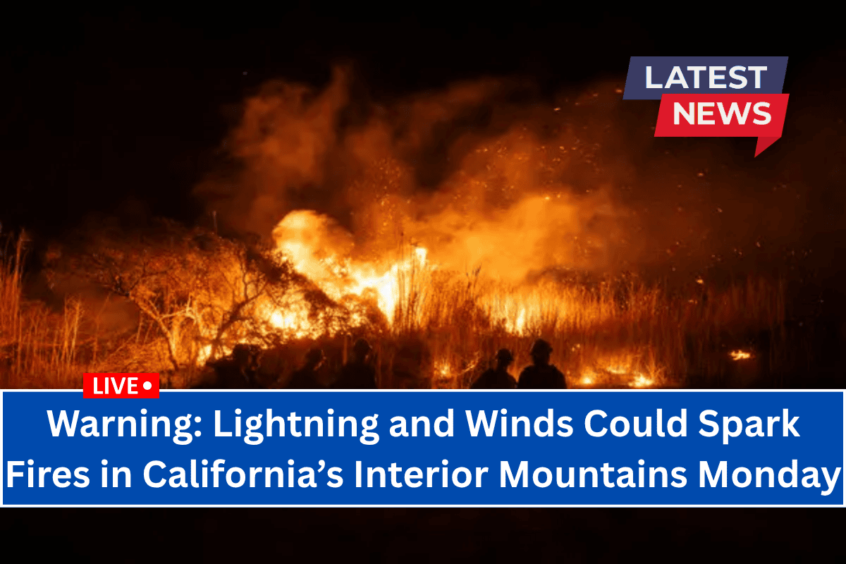
A Fire Weather Watch has been issued for multiple counties in Northern California’s interior mountains, as the National Weather Service warns of scattered dry lightning and gusty winds that could lead to wildfire risks on Monday, June 30.
The watch is in effect from the morning until 11 p.m. Monday, with fire-prone regions expected to experience dangerous conditions.
What to Expect
The National Weather Service in Eureka reports that a surge of upper-level moisture combined with hot, dry surface conditions will bring dry thunderstorms, which are particularly dangerous for wildfire risks.
These thunderstorms will be accompanied by erratic outflow winds that could reach speeds of up to 50 mph, making it easier for new fires to start and difficult to contain them once they do.
Fire zones affected include areas such as:
- Lower Middle Klamath
- Hoopa
- Van Duzen and Mad River basins
- Trinity region
- Parts of the Mendocino National Forest
Fire Risk and Conditions
The greatest threat is expected to occur on Monday afternoon, with a 25% chance of scattered storms. While some storms may bring brief rainfall, lightning strikes could occur far from any wet areas, creating a higher fire risk in dry vegetation. Lightning may also strike as early as Sunday night and continue into Tuesday.
Precautionary Measures
Officials are urging residents to avoid outdoor burning and take precautions against the rapidly changing fire conditions. High winds could cause any new fire starts to spread quickly, making containment efforts challenging.
The Fire Weather Watch is in effect until 11 p.m. Monday, but additional warnings, including possible Red Flag Warnings, may be issued if conditions worsen.
If you live in or near any of the affected regions, it is essential to stay informed about the weather and prepare for the possibility of rapid fire development. Avoid outdoor activities that could spark a fire, and ensure your property is defensible against potential wildfires.


