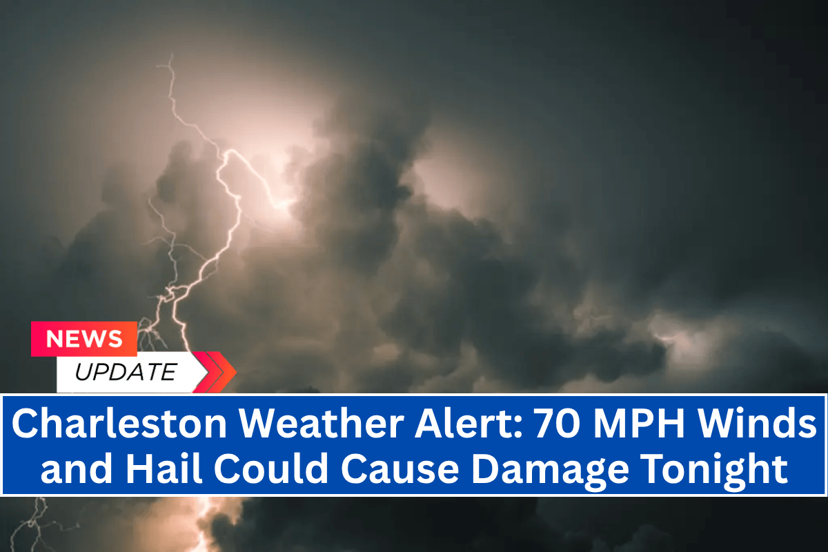
Charleston, S.C. – Severe thunderstorms are moving into South Carolina’s Lowcountry this evening, with the primary threat being damaging wind gusts reaching up to 70 mph. These storms will continue through 3 a.m. Thursday.
The National Weather Service in Charleston reports that a line of strong storms is advancing from the northwest, with arrival times ranging from now through the early morning hours. Areas including Moncks Corner, Walterboro, and Beaufort could experience wind damage, quarter-sized hail, and frequent cloud-to-ground lightning.
Areas at Risk
Communities near I-95 and along the Savannah River, including Sylvania and Statesboro, are expected to see storms between 8 p.m. and 11 p.m. Meanwhile, coastal areas like Hilton Head and Hinesville should prepare for impacts between midnight and 3 a.m. Thursday.
Safety Precautions
Residents in the affected areas are urged to take the following precautions:
- Secure outdoor items to prevent them from being blown away.
- Avoid travel during the severe weather, especially when conditions are at their worst.
- Stay indoors and away from windows to stay safe.
- Prepare for possible power outages, particularly in areas where tree damage or downed power lines may occur.
Ongoing Alerts
Warnings and advisories may extend into early Thursday morning. Keep tuned to local alerts and NOAA Weather Radio for continuous updates throughout the night.


