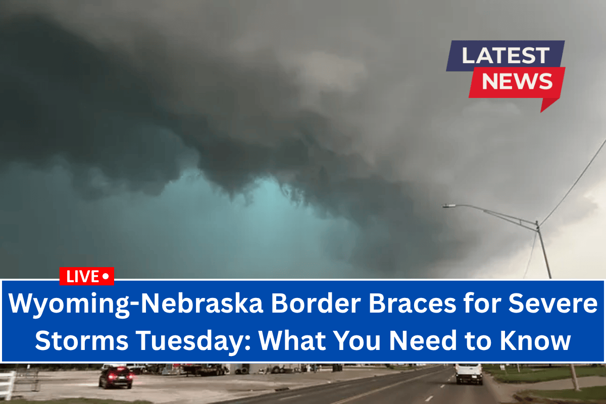
Cheyenne, Wyoming – A severe weather alert has been issued for areas along the Wyoming-Nebraska-South Dakota border on Tuesday afternoon, with dangerous thunderstorms expected between 2 p.m. and 8 p.m.
The National Weather Service in Cheyenne reports that scattered thunderstorms will develop east of a Casper-to-Cheyenne line and could become severe in some localized areas. The strongest storms are predicted to bring large hail, wind gusts exceeding 60 mph, heavy rainfall, and frequent lightning.
Cities including Cheyenne, Torrington, Chadron, and Alliance are in the slight risk zone for severe weather. Residents, particularly those traveling along U.S. Highway 85 and Interstate 25, are urged to stay updated on conditions, especially during the afternoon commute.
There is a risk of power outages and brief flooding in low-lying areas during the peak of the storm activity.
The National Weather Service advises everyone in the affected areas to remain alert for storm warnings and to have multiple ways to receive emergency updates. It’s crucial to know your safe place and avoid outdoor activities during the storm. Seek shelter indoors when the storms approach.
The storm activity is expected to taper off after sunset, but additional weather alerts may be issued if conditions persist.


