Raleigh, NC – A severe thunderstorm watch is in effect for eastern and north-central North Carolina until 11 p.m. Thursday, with damaging winds, intense lightning, and the possibility of hail threatening communities from Siler City to Kill Devil Hills, including Raleigh, Tarboro, Henderson, and Greenville.
This weather system could cause power outages and hazardous travel conditions.
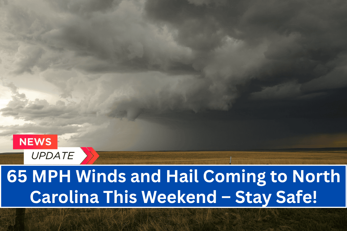
Severe Weather Details
The National Weather Service in Raleigh reports that wind gusts could reach up to 65 mph, and isolated hail as large as a quarter may occur in some areas.
In addition, frequent lightning is expected to strike across the watch zone, affecting over 2.5 million people, including 577 schools and 40 hospitals.
Travelers along Interstate 95 and U.S. 64 should be prepared for sudden downpours and limited visibility, making road conditions hazardous. Local emergency management agencies are urging residents to avoid outdoor activities, secure loose items that could become projectiles, and stay off the roads if possible to minimize risk.
Power Outages and Storm Impact
With high winds and frequent lightning, power outages are likely, particularly in rural and coastal counties. Power companies are on alert, anticipating service interruptions as the storm progresses through the region.
The severe weather event marks one of the first widespread thunderstorms of June, following a relatively quiet spring. Areas like Plymouth, Kill Devil Hills, and Elizabeth City could experience storm activity continuing through the night.
Storm Timeline and Updates
The severe thunderstorm threat is expected to diminish by 11 p.m. Thursday, but residents should stay alert for any additional advisories or warnings if conditions persist or worsen.


