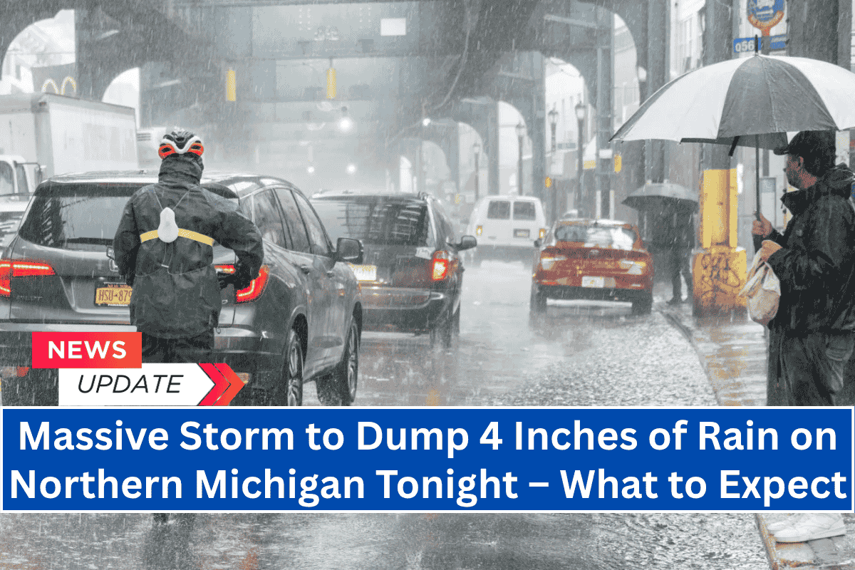
Traverse City, Michigan – Heavy rain and thunderstorms are expected to impact northern Michigan tonight, with up to 4 inches of rain in some areas from Cadillac to Alpena.
The National Weather Service in Gaylord has issued a warning for localized flooding and hazardous driving conditions.
Rain and Storm Details
- Scattered afternoon and evening storms are expected to intensify and become widespread after dark.
- Rainfall totals of 1 to 2 inches are likely, with isolated pockets possibly exceeding 4 inches, especially near Saginaw Bay.
- Severe storms with lightning, large hail, and damaging winds are possible through 11 p.m. tonight.
- Areas like Cadillac, Manistee, Mio, Gladwin, and Tawas City face the highest localized risk for intense rainfall.
Travel and Safety Advisory
- Wet and slippery roads are expected, with low visibility during downpours, creating dangerous travel conditions, especially in areas with poor drainage. Puddles and ponding are likely to increase overnight.
- Residents are urged to avoid non-essential travel and stay updated on weather warnings.
- Ensure phones and flashlights are fully charged in case of power outages.
Timing
- The storm system is expected to taper off by Thursday morning. However, due to its slow-moving nature, the storm may have stronger-than-usual impacts.
Stay safe, stay informed, and take precautions to protect your property and travel safely during these severe weather conditions.


