Raleigh, NC – Central North Carolina is bracing for a wet and stormy week, with significant rainfall expected to arrive Monday night.
The most intense showers and thunderstorms will begin after 11 p.m., creating potential hazards for early morning commuters on Tuesday. Drivers along I-40 and I-440 should be cautious of pooling water on the roads.
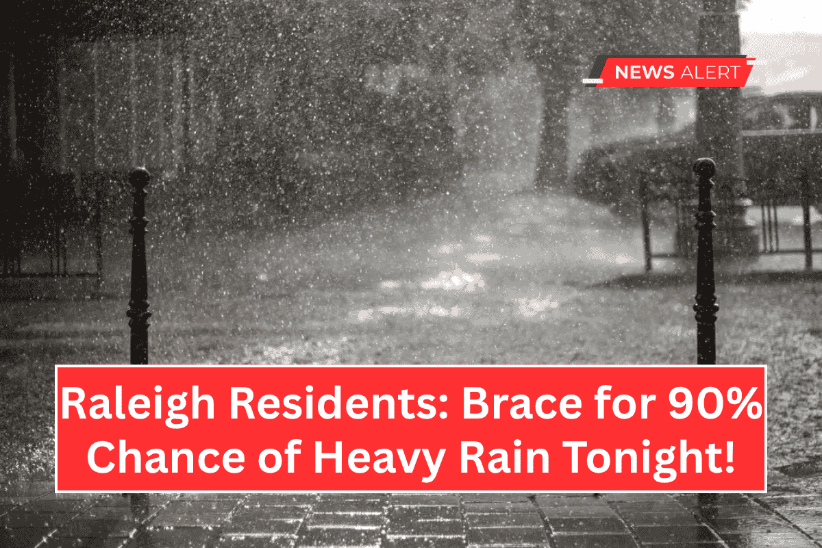
Monday Night: Heavy Rain and Thunderstorms
According to the National Weather Service, thunderstorms and rain are expected to start after 5 p.m. Monday, with the risk of heavy rain increasing after 11 p.m.
The chance of precipitation Monday night is 90%, and residents can expect between a quarter and half an inch of rain. Strong winds may also affect outdoor items, so it’s recommended to secure anything that could be blown away or damaged.
Tuesday: More Storms and Hot Temperatures
The unsettled weather will continue into Tuesday, with a high near 91°F. Showers and thunderstorms are expected to develop after 2 p.m., bringing another round of rainfall, potentially adding another quarter-inch to the area.
This means residents should prepare for potential disruptions to outdoor plans and travel. Utility providers are keeping an eye on the situation for any possible power outages.
Looking Ahead: Heat Intensifies Midweek
As the week progresses, temperatures will climb. Wednesday’s forecast calls for a high near 93°F, with a slight chance of pop-up storms.
By Thursday, which marks the Juneteenth holiday, expect mostly sunny skies and a high of 95°F. There’s a slight chance of an afternoon thunderstorm after 2 p.m.
Weekend Outlook: Sunny and Hot
The weather pattern will shift toward hot and mostly dry conditions by the weekend. Friday is expected to be mostly sunny, with a high near 90°F.
The first full weekend of summer will begin with a sunny Saturday and a high around 92°F. Warnings and advisories may be updated as storm cells develop.


