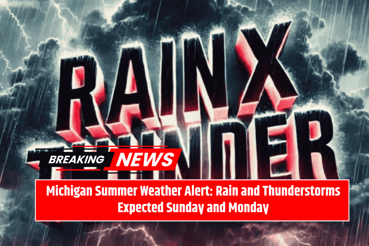
Summer plans in western Michigan may take a soggy turn this weekend, as scattered showers and thunderstorms are expected to impact Grand Rapids. According to the National Weather Service, a 30% chance of rain will begin after 2 p.m. on Sunday, with cloudy skies taking over by the evening. Light winds and the potential for isolated thunderstorms overnight could affect your travel plans and outdoor activities.
When Will the Rain Start?
The rain is expected to start after 2 p.m. on Sunday, with the skies turning cloudy in the late afternoon. While the rain won’t be too heavy at first, conditions will worsen overnight, with a strong chance of more organized rain between 1 a.m. and 2 a.m. on Monday. Thunderstorms are possible as well, bringing gusty winds up to 24 mph, especially in the afternoon.
Travel and Safety Precautions
If you’re driving along major roads like US-131 and I-196, keep in mind that rain and thunderstorms may cause slick roads and reduced visibility. It’s essential to stay cautious, particularly during the overnight hours when conditions could worsen quickly. It’s a good idea to secure any loose outdoor items ahead of time to avoid them being blown away by strong winds.
What’s the Weather for the Rest of the Week?
After the rain and thunderstorms clear out by Monday evening, the weather will start to improve. Tuesday will see drier conditions with mostly sunny skies, and temperatures will drop slightly to a high of 71°F. By Wednesday, full sunshine returns, and the high will be near 80°F, making it a great day to get outside.
Extended Grand Rapids Forecast:
Saturday (Today): Mostly sunny, high near 80°F
Sunday: Rain chances after 2 p.m., high near 79°F
Monday: Thunderstorms possible, high near 76°F
Tuesday: Drying trend, mostly sunny, high near 71°F
Wednesday: Full sunshine, high near 80°F
Be sure to monitor local weather alerts and keep an eye on storm chances as they develop through the weekend. Early-week travelers should prepare for possible delays due to weather conditions.


