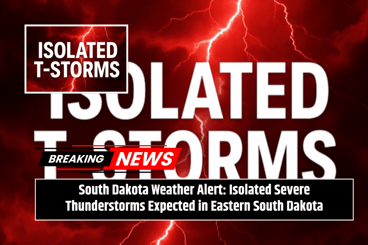
On Saturday afternoon and evening, isolated severe thunderstorms may impact parts of eastern South Dakota, with the greatest risk focused north of Huron, specifically in Beadle County. Residents should stay prepared for large hail and damaging winds.
Details of the Thunderstorm Risk
According to the National Weather Service in Sioux Falls, a Level 1 out of 5 severe weather threat is in place for areas including Aberdeen, Redfield, Gettysburg, and Eureka. The storms are expected to develop during the afternoon and continue into the evening hours. The main hazards from these storms will be large hail and strong winds.
The risk zone stretches from Mobridge southeast through Brown, Spink, and Faulk counties. This could affect areas around Highway 281 and nearby rural locations. While the storm risk is currently considered marginal, it is important to keep an eye on updated forecasts, as the risk area may shift.
Safety Tips and Travel Precautions
For those living in the affected areas, it’s important to secure any outdoor items that could be damaged by strong winds. Be sure to monitor weather alerts closely throughout the day, and avoid unnecessary travel if severe storms begin to develop. If you have weekend plans, it’s a good idea to have an indoor backup option, as storms may disrupt outdoor activities.
What to Expect and Stay Prepared
As the weekend approaches, more updates will be issued regarding the storm’s development. Weather alerts will remain in effect, and changes to the threat area are possible as forecasters continue to assess the situation. Stay informed to ensure you are ready for any weather changes.
With thunderstorms expected in parts of eastern South Dakota on Saturday, it’s essential to stay prepared and monitor local weather reports. Make sure to secure outdoor items and have an indoor plan if you’re in the affected areas, especially north of Huron. Keeping updated on the situation will help you stay safe as conditions develop.


