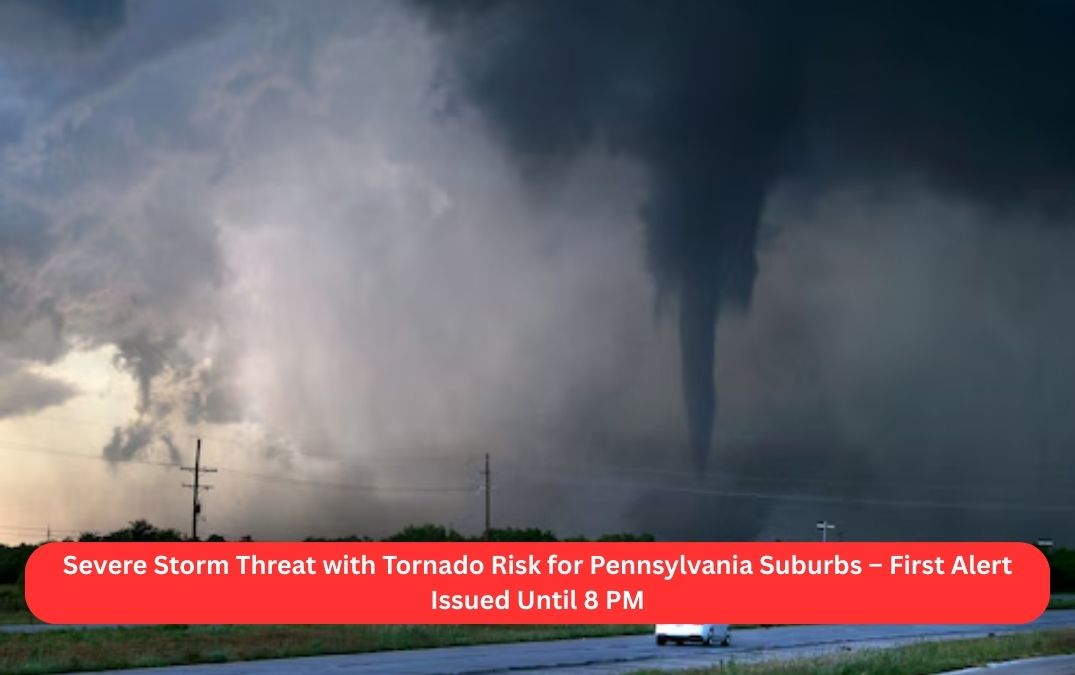
Residents across the Pennsylvania suburbs, Berks County, and the Lehigh Valley should stay alert as severe weather moves through the region this Tuesday afternoon and evening. A First Alert has been issued for potential damaging winds, heavy rain, hail, and even an isolated tornado, in effect until 8:00 PM on May 6, 2025.
What You Need to Know:
- Severe weather is expected this afternoon and evening (May 6, 2025).
- The greatest risk lies in areas west of Philadelphia, including Berks County and the Lehigh Valley.
- Heavy downpours, strong wind gusts, hail, and frequent lightning are likely.
- An isolated tornado cannot be ruled out.
- A Severe Thunderstorm Watch remains active through 8:00 PM for all eastern Pennsylvania counties and Mercer County, New Jersey.
Earlier today, the first warnings were issued for Berks and Chester counties before 2 PM, as storm activity began to ramp up. The area is currently under a Level 2 risk, meaning scattered severe storms are possible, according to the National Weather Service’s Storm Prediction Center.
Meanwhile, Philadelphia, South Jersey, and northern Delaware are under a Level 1 threat, where the storm potential is lower but still present later in the day.
Why This Is Happening:
NBC10 meteorologist James Gregorio explained that breaks of sun after a cloudy, showery morning may help fuel the development of strong to severe thunderstorms. The daytime heating effect plays a key role in storm intensity.
Conditions are expected to settle after sunset, once the energy from the sun fades and the storms lose momentum.
Looking Ahead:
The good news? Wednesday promises calmer weather with mostly sunny skies and temperatures reaching the mid-70s.
Stay weather-aware, and keep an eye on local alerts and advisories as conditions continue to develop.


