Minneapolis, Minnesota – The Twin Cities are bracing for extreme heat on Friday, with heat index values climbing to 101°F. At the same time, severe thunderstorms are expected to develop, threatening power outages, dangerous wind gusts, and potential downed trees across central and southern Minnesota.
Weather Threat Overview
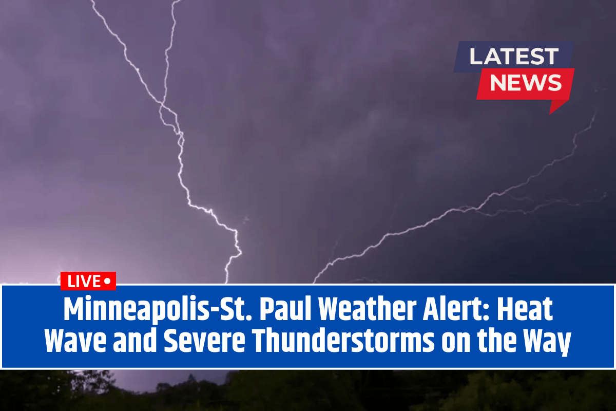
The National Weather Service has issued warnings for a surge of severe thunderstorms arriving late Friday into Saturday, bringing damaging winds and heavy rain. The most intense storms are expected west of Minneapolis, especially near the Dakota border.
Areas from Chanhassen to Anoka should prepare for rapid changes in weather and avoid outdoor activities during the peak heat of the afternoon.
Forecast Breakdown
Thursday Night: A stray thunderstorm is possible with muggy conditions, and lows near 73°F.
Friday: Expect mostly cloudy skies with oppressive humidity. Highs will reach 91°F, but heat indices could soar to 101°F. Late afternoon and evening will bring the development of severe thunderstorms, with a 50% chance of damaging winds, localized flooding, and the possibility of power outages.
Saturday: Early rain will linger, but conditions will begin to clear by afternoon. Highs will drop to 84°F.
Sunday: A drier and cooler day with mostly sunny skies and a high of 85°F.
Five-Day Forecast for Minneapolis, MN:
Friday: 91°F, late storms, dangerous heat.
Saturday: 84°F, early rain, partial clearing.
Sunday: 85°F, mostly sunny.
Monday: 84°F, slight storm chance.
Tuesday: 85°F, mostly sunny.
Residents are advised to stay alert for fast-changing weather conditions through Saturday morning. Make sure to check local weather alerts before heading out, as additional advisories may be issued depending on how the storm threat evolves.


