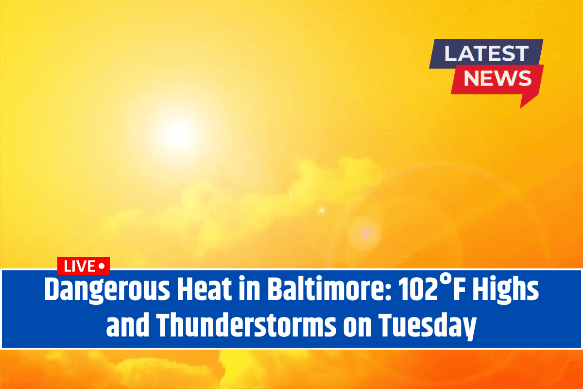
Baltimore, Maryland – Triple-digit heat is set to hit Baltimore hard by early Tuesday afternoon, with dangerous heat indices reaching 105°F across Central Maryland.
The National Weather Service has issued a Heat Advisory for Baltimore on Tuesday, July 29, warning of highs around 101°F and humidity pushing the heat index to 105°F.
A slight chance of thunderstorms will develop after 2 p.m., offering brief relief but also potentially creating sudden hazards for travelers and outdoor workers. Unfortunately, light winds will do little to disperse the heat, making it feel even more unbearable.
Safety Tips
Limit outdoor exposure during peak sun hours, especially midday.
Stay hydrated by drinking water frequently.
Avoid strenuous activities, especially along major roads like Interstate 95, where surface temperatures can rise even higher.
Check on vulnerable neighbors who may not have access to air conditioning.
Evening and Overnight Conditions:
The heat risk will persist into the evening, with lows around 83°F, keeping the air uncomfortably warm. Keep an eye out for the latest advisories as this summer heatwave continues.
What’s Next?
On Wednesday, July 30, Baltimore will still experience high temperatures, reaching 102°F, before scattered storms move in after 2 p.m. These storms are expected to become more widespread overnight, continuing into Thursday.
5-Day Baltimore Weather Outlook:
Tuesday, July 29: Sunny and hot with a high of 101°F and a heat index near 105°F. Slight chance of storms after 2 p.m..
Wednesday, July 30: Hot again with a high of 102°F. Thunderstorms possible after 2 p.m., becoming more widespread overnight.
Thursday, July 31: Scattered storms in the morning and evening. High near 92°F. 80% chance of rain.
Friday, August 1: Partly cloudy and cooler with a high of 84°F. 40% chance of storms in the early hours.
Saturday-Sunday, August 2-3: Mostly sunny, with highs in the upper 80s. A warm, calm start to August is expected.
As the heatwave continues through the week, be sure to stay weather-aware and take precautions against the extreme heat. Keep hydrated, avoid outdoor activity during peak hours, and prepare for possible thunderstorms midweek. The relief you’re hoping for may be just around the corner as the heat starts to subside into August.


