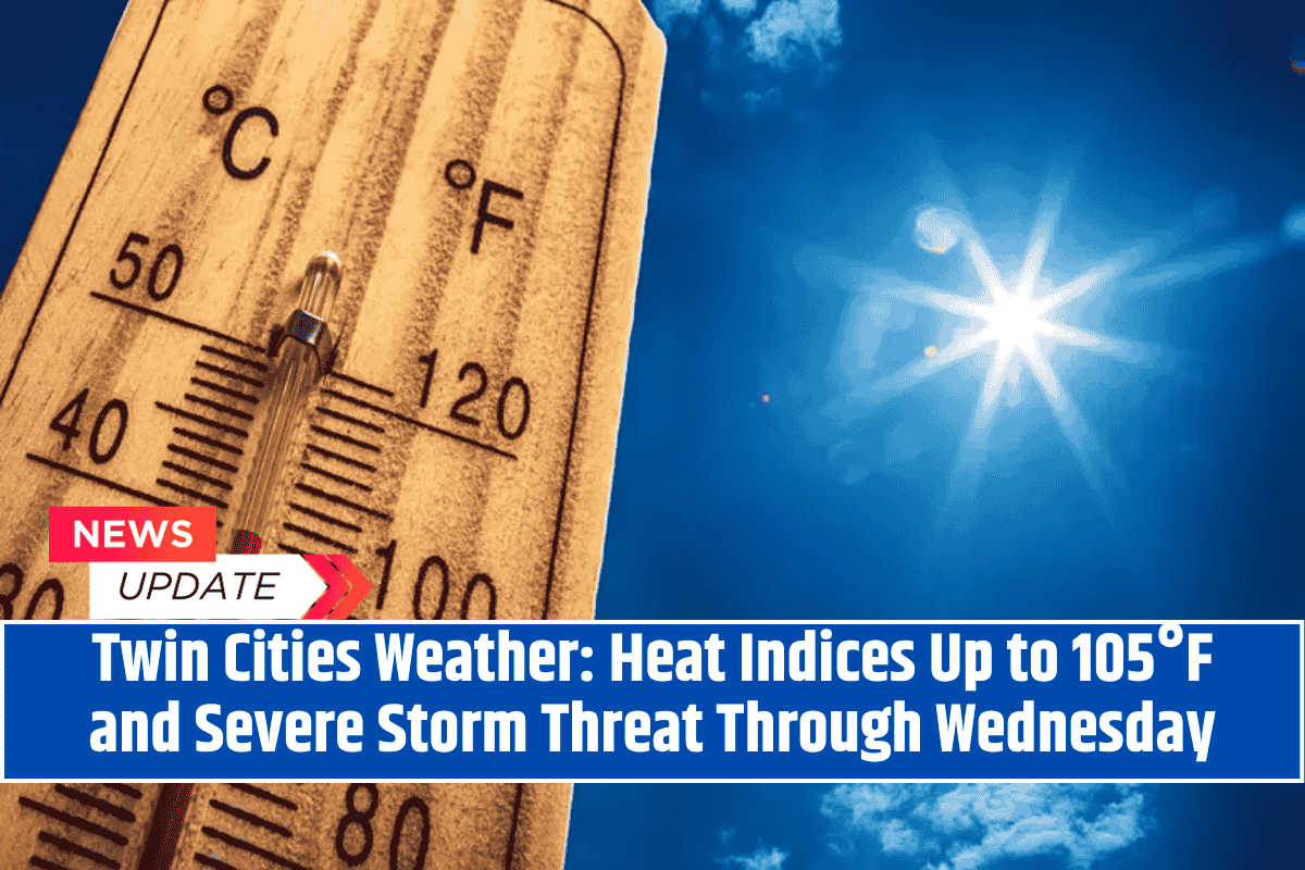
St. Paul, MN – Severe thunderstorms and oppressive heat are set to affect Minnesota, with heat indices climbing up to 105°F and dangerous conditions lasting through Wednesday night.
According to the National Weather Service Twin Cities, hot and humid weather will combine with a volatile storm system, creating a high risk of damaging winds, large hail, and heavy rainfall.
The storm threat will be strongest from Tuesday afternoon to Wednesday evening, with significant weather changes expected over the next two days.
Heat Advisory in Effect for Central and Southern Minnesota
Heat advisories are in effect across central and southern Minnesota, with Tuesday’s heat index forecast to soar above 100°F in many areas, including Marshall, Albert Lea, and Red Wing.
The Twin Cities could see afternoon “feels-like” temperatures peak near 105°F, making it critical for residents to take precautions against heat stress.
The National Weather Service emphasizes that heat impacts anyone without access to effective cooling, so it is important to stay hydrated, avoid outdoor activity during peak heat, and have a way to cool off, especially in areas like Minneapolis, St. Paul, and surrounding cities.
Severe Thunderstorms and Storm Hazards
Severe weather watches are in effect across much of the state, with thunderstorms expected to bring damaging winds, hail, and flooding rains. I-94 and Highway 52 are likely to experience hazardous conditions, including downed trees and flooded streets.
Residents are urged to stay alert for rapidly changing weather and to monitor local updates for the latest warnings. Power outages are also possible, so it is recommended to keep mobile devices charged and have emergency supplies on hand.
Stay Safe During Extreme Weather
Limit outdoor activities and avoid heat exposure, particularly between late morning and early evening.
Stay hydrated and wear appropriate clothing to protect yourself from the heat.
Be prepared for sudden weather changes by keeping your phone charged and being ready to seek shelter if a storm hits.
Watch for road hazards due to fallen debris or flooding in affected areas.
Severe weather watches are in place across the state through Wednesday, and additional alerts may be issued if storms intensify.


